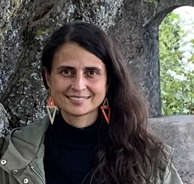
Maria Catarina Custódio da Paz
Catarina Paz is a geophysicist with major interests in ecosystem modelling and, more recently, data sonification and heritage science. Her current research mostly focuses on the application of geophysical techniques to these areas.
She is a researcher and a guest lecturer of Geophysical Prospecting at the Polytechnical University of Setúbal (IPS).
Catarina obtained a 5-year degree (Licenciatura) in Geophysical Sciences from the Faculty of Sciences of the University of Lisbon (UL), which included a final one-year internship that she completed as a visiting scientist at the University of Barcelona, Spain. She was then awarded a seed funding from the Portuguese State to create a startup that provided services of applied geophysics, mostly in groundwater and environment-related projects for companies and academia. At the same time, she obtained a MSc in Environmental Engineering from Instituto Superior Técnico, UL, and ended up dedicating completely to academia by engaging in a PhD in Earth Resources at the same institution. Her PhD thesis focused on applied geophysical techniques for the study of shallow aquifers. Following her PhD, she conducted postdoctoral research on ecosystem modelling, soil salinity risk assessment, and climate change impacts on permafrost.
Catarina is actively involved in the E³UDRES² European university alliance, funded by the European Commission, where she contributes to research initiatives and leads efforts in developing research and open science strategies for the alliance.
She’s a member of the European Geosciences Union and of the Portuguese Association of Water Resources.
Over the years, Catarina has carried out field-based research in many regions within the Iberian Peninsula, mostly in the southwest and south.
Catarina is a founding member of RESILIENCE.